Dhaka exhibition
A ten-day walk-through exhibition of the delta, ending at a data wall fed by the district teams.
See the exhibition plan →Rivers of Resilience / Collection
Explore the river records, satellite comparisons and source documents already in this atlas. The documentary, exhibition and community record will join them as the programme is produced.
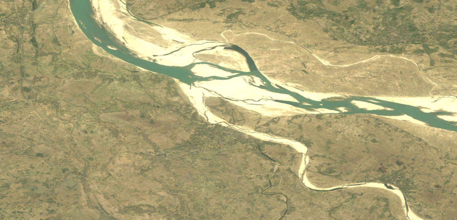 1989
1989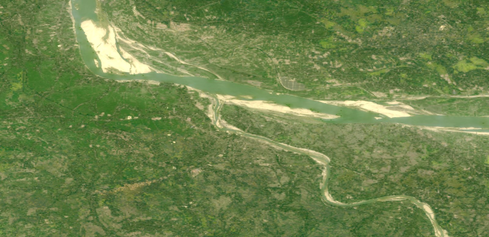 2025
2025These records are published in the atlas today. Each item leads to the data, image or original source behind it.
Names, locations, published findings and the limits of what the maps can show.
Browse rivers 10 comparisonsDry-season satellite pairs with dates, image credits and notes about what can be compared.
Explore images 54 checked facts · 54 sourcesEvery published figure with a verbatim passage, citation and saved source record.
Check the sourcesPlanned for the programme
The proposal calls for a film that makes river loss visible and personal. It is planned to premiere when the Dhaka exhibition opens, then travel to ten district screenings. No film has been published in this archive yet.
Read the programme planThe concept note sets out these formats. This archive has space for them without showing unreleased work as though it already exists.
A ten-day walk-through exhibition of the delta, ending at a data wall fed by the district teams.
See the exhibition plan →Ten local screenings and micro-exhibitions shaped around the rivers of each district.
See the screening plan →Five community conversations, each intended to produce a public, recorded statement of commitment.
See the dialogue plan →The atlas already makes source material, dates and uncertainty visible beside each claim. The programme's film, exhibition and field documentation can be added here as they are completed and cleared for publication.